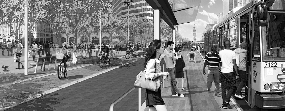
Transit-oriented development (TOD) is a crucial strategy for building sustainable and livable cities by promoting walkability, cycling, and transit use. TOD reduces the reliance on cars and minimizes its environmental impact while enhancing public health. Additionally, TOD can improve economic opportunities and social equity by providing inclusive access to employment, education, and services for all... Read more »
We believe that true sustainability goes well beyond the performance of an individual building. Entire neighborhoods and districts—when working as an integrated ecosystem—can reduce our consumption of natural resources and strengthen the social fabric of communities. The result is a higher quality of life and an exceptional urban experience. The Sustainable Communities Lab is researching how best to integrate ecological frameworks into urban infrastructure, and how to measure and benchmark performance at the district scale.
Girls and women experience the built environment distinctly differently than boys and men. They use and navigate it differently and face barriers to its use. Just as we’re starting to reckon with the fact that public spaces are not gender-neutral for adults, we must also realize this is the case for adolescents. This study aimed... Read more »
This project assessed a methodology for calculating a Bike Share Propensity Index (BSPI). The BSPI identifies areas within a city that exhibit characteristics favorable for bike sharing. The results and insights gained from this project will enable us to support better the cities we collaborate with. We evaluated and tested three different statistical approaches to... Read more »
“Confronting the Sexist City” is a study that helps reimagine our cities and understand how we can create better opportunities for women, girls, and other gender-diverse individuals in the public realm. This first exploration involved a group of participants traveling along a 2.2km stretch of Queen Street in Toronto, documenting their range of emotions and... Read more »
Many transportation projects require developing street segment geometries for the aggregation of related data at a level useful to local clients and policy makers. A system of bus routes may share some street segments and not others, and we want to precisely understand the extent of shared street segments – this requires a systematic segmentation... Read more »
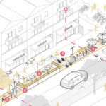
This research incubator explores the concept of flexible streets championed by leaders in the planning and mobility industries, including our own colleagues at Nelson\Nygaard, to establish a “flex street” definition that planners and urban designers can use to communicate with communities and local officials. In establishing this flexible street definition, we looked to recent street... Read more »
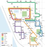
The Bus Map Design Guideline project provides an empirically informed design guide and template for bus map production, one of Nelson\Nygaard’s core capabilities. By surveying map viewers and producers on the broad goals and specific practices common to bus map design, we identified key audience priorities and preferences that map designers should take into account.... Read more »
The Bus Delay Analysis Tool (BDAT) is a set of software and analysis procedures Nelson\Nygaard has been developing for our transit agency clients. Through the Innovation Incubator we developed the new and improved Project & Treatment Module, which enables our clients to sketch bus transit speed & reliability improvements. Additionally, using the tool to document... Read more »
This research project proposes a Framework and Toolkit to create a holistic, incremental approach to gas station adaptation & transformation. Given the current policy timeline of phasing out production of combustible-engine vehicles by 2035 in California and transition to a carbon-free economy nation-wide by 2050, the adaptation scenarios focus on tangible strategies for a near-term... Read more »
As extended reality technologies become better, more seamless, and more available, our virtual space and physical space will tend to merge into one hyperreal space. When this hyperreality emerges, it will fundamentally transform our human habitat at every scale. This transformation doesn’t have to be a bad thing! Ubiquitous XR activation may actually improve the... Read more »
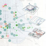
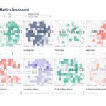
This research project proposes both an expanded set of “socialized” metrics to complement the physical neighborhood metrics typically used for TOD projects, and a new data visualization methodology for extracting and visualizing neighborhood metrics consistently and dynamically. With the addition of socialized metrics, designers will be better equipped to have conversations with clients and stakeholders... Read more »