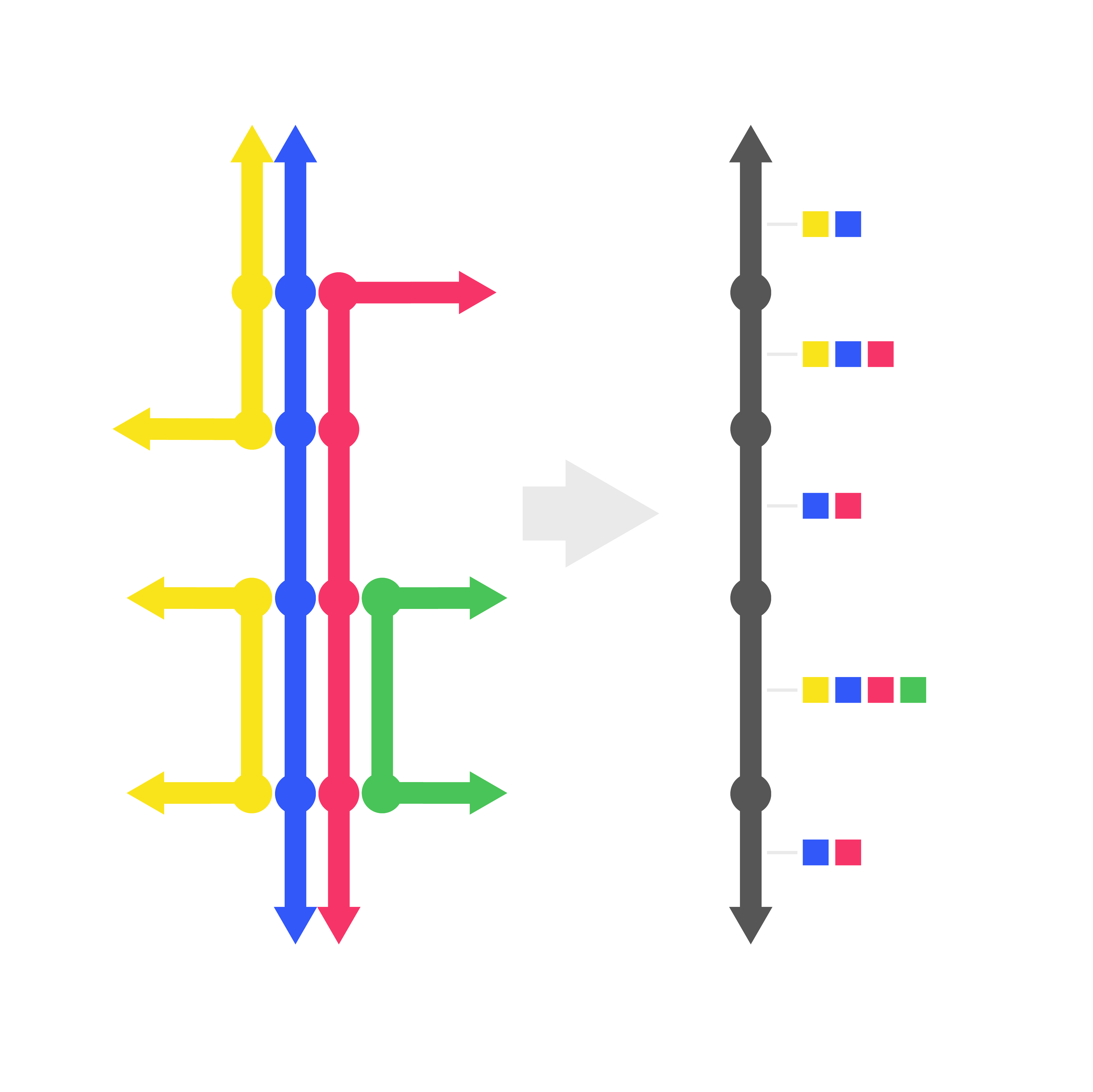
Many transportation projects require developing street segment geometries for the aggregation of related data at a level useful to local clients and policy makers. A system of bus routes may share some street segments and not others, and we want to precisely understand the extent of shared street segments – this requires a systematic segmentation process.
This Innovation Incubator project developed a generalized and automated method for generating segments for transit networks using widely available OpenStreetMap (OSM) and General Transit Feed Specification (GTFS) data.
Check out the website that documents the process and code here, and a demonstration app where several segmented transit networks can be visualized, here.